A beautiful Alpine trek, between France, Italy and Switzerland.
Before enjoying the magnificent views, a little diversions to a geographical curiosity: in which country is Mont Blanc located?
If you are in France, the answer is obvious: in France. But if you are Italian, then you argue that the border between the two countries runs through the summit and therefore both can claim the highest peak in Europe.
The truth? not so obvious because the border has been disputed (diplomatically that is) since the Duchy of Savoy passed from Italy to France in the Treaty of Turin in 1860. If you experiment with looking at a French map or an Italian map (including their digital versions), you will see that the line differs.
For those who want to know more, I advise you to read this page:
https://sdsa-geneve.ch/index.php/en/2021/01/16/the-long-lasting-border-issue-on-the-mont-blanc-2/
The tour is about 160 km long with different possibilities, variants … It’s a very busy tour but the more mountainous variants allow you to avoid the crowds and above all the view of the Mont Blanc massif is simply unrivalled!
This post, and next week’s, presents a selection of landscapes, atmosphere, if you want to know more about the tour itself, send me a message.
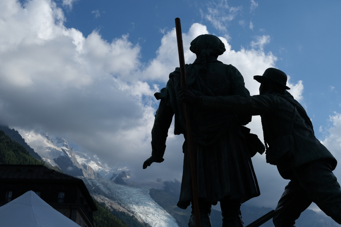
Chamonix is a town that lives at the foot of the giant. Its centre retains a certain charm, a little air of the end of the 19th century, beginning of the 20th.


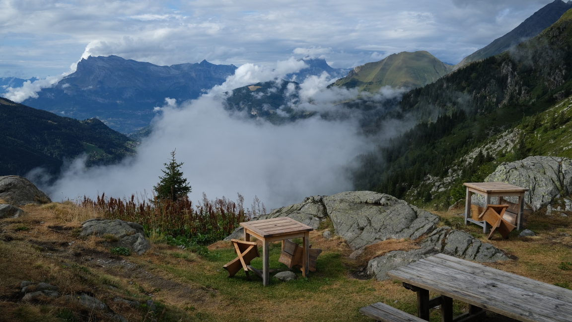
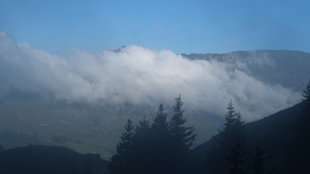
The summer has been hot and dry in Europe, in the mountains we have sometimes had stormy weather at the end of the afternoon, a changing and magnificent spectacle as here from the chalets of Miage, option by the col du Tricot :


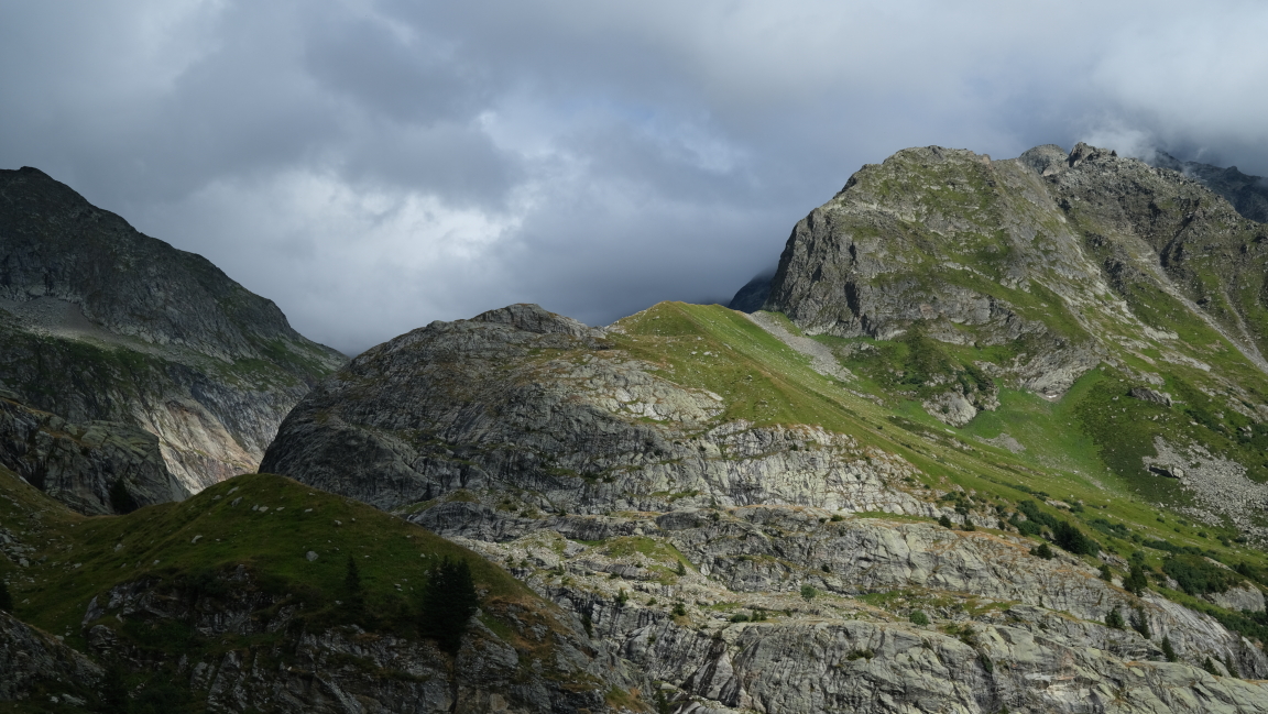
The atmosphere changed on the next day, rain all day then fog at the end of the afternoon above the Tré la Tête refuge:


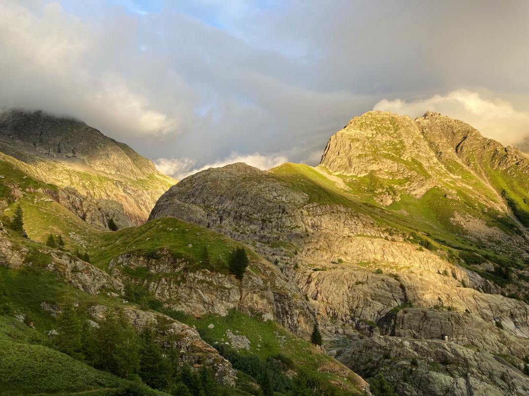
With the end of the day, the sky fills again with beautiful colours, just above the refuge:


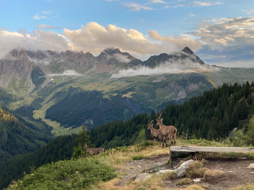
Sometimes the attraction of a landscape, of a photo, makes us miss the rest … a few meters away from me, there was a whole group of young ibexes, attracted by a block of salt placed at their attention.


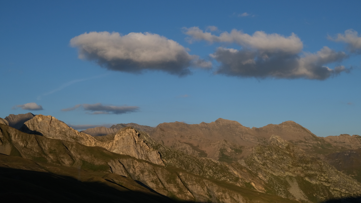
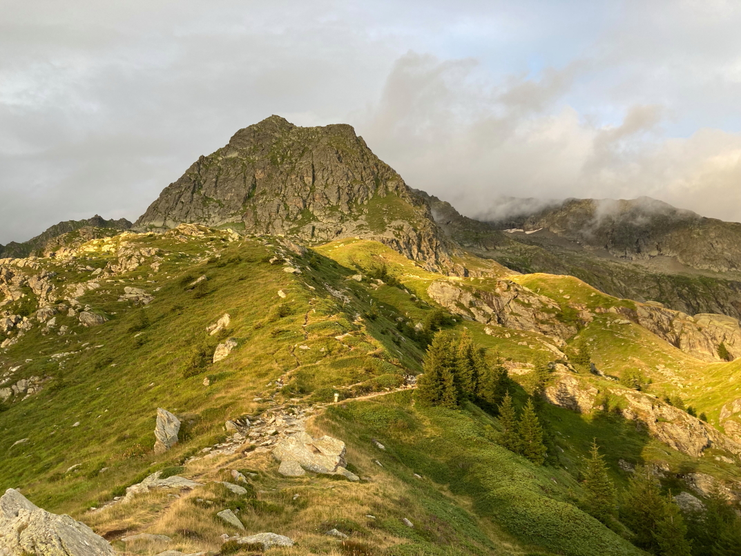
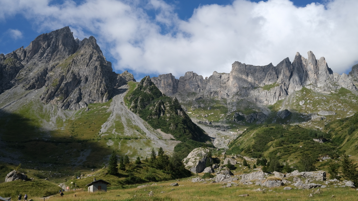
The next day, the ascent to the Bonhomme pass is very busy but the views are magnificent, three long-distance paths take the same route, which explains the number of hikers. At the pass, “Michelin” markers indicate all directions.


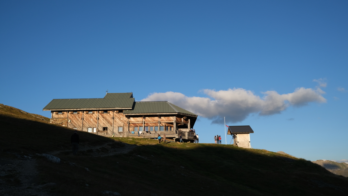
The Col de la Croix du Bonhomme refuge closes this beautiful day, located at altitude, it offers again magnificent 360° views: